

Natural Habitat (Australia)
Habitat can be defined as the specific type of place where a plant or animal lives. For plants and animals which live in water, habitat is available only when it is submerged.”
Most rainbowfishes live in the tropical and sub-tropical climates of Australia and New Guinea. However, there is a pronounced difference between the aquatic habitats of Australia and that of New Guinea. With an area roughly equal to the contiguous continental U.S.A., Australia is generally characterised by lower topographical relief, lower rainfall, and a much less extensive system of river drainages. However, largely as a consequence of the latitudinal spread of the country, and of the influence of the Great Dividing Range on climatic conditions, Australia possesses a wide variety of freshwater environments inhabited by rainbowfishes. These include artesian springs and ephemeral desert lakes and streams; tropical streams that undergo extensive flooding during summer monsoonal rains; fast flowing rainforest streams; coastal streams, acidic wallum swamps and sand-dune lakes.
In Australia, rainbowfishes generally occupy three broad climatic zones. Above the Tropic of Capricorn has a tropical climate characterised by a generally hot, humid summer with strongly seasonal rainfall, and a mild to warm, dry winter. Below the Tropic of Capricorn is sub-tropical with a similarly hot, humid summer and seasonal rainfall, but with some significant rainfall occurring during the mild winter. The interior portion of Australia occupied by rainbowfishes experiences an arid sub-tropical climate. Summers can be extremely hot and dry, with variable rainfall; winters are cool to warm and dry, with irregular light rain.
The majority of rainbowfishes found in Australia are distributed throughout the northern and eastern coastal strips. The presence of substantial rainfall and the range of habitats found in these regions accounts for the relatively greater number of species found in this part of the continent. In southern Australia, their distribution is almost certainly controlled by winter minimum water temperatures. The family’s distribution is exceptionally broad, ranging from the tributaries of the Murray-Darling system in Victoria, northwards up the east coast to Cape York, and west to the north-west coast of Western Australia. They also occur throughout the inland rivers of the arid Lake Eyre drainage in central Australia.
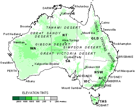
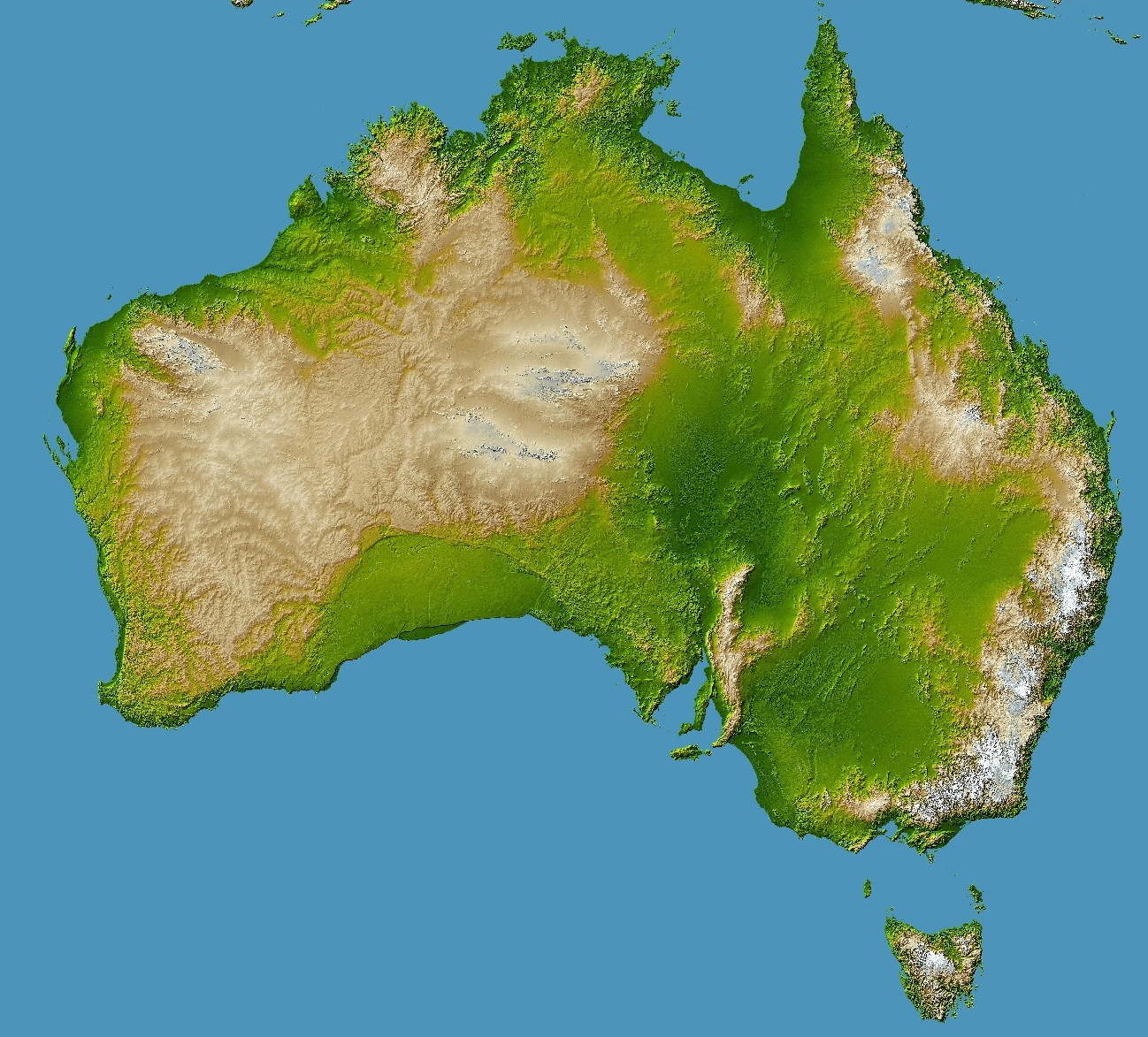
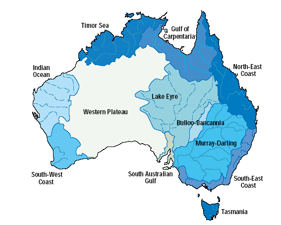
There are three major landforms on the mainland of Australia; the Great Dividing Range and its associated smaller ranges, the Central Eastern Lowlands (west of the Great Dividing Range) and the Great Western Plateau. These landforms influence the major drainage patterns of the mainland. The Australian Water Resources Council has defined twelve major drainage divisions - eleven on the mainland and Tasmania’s drainage system is the twelfth, which are sub-divided into water regions which are in-turn sub-divided into river basins. Within major drainage basins, there are always minor drainage basins. Minor basins sometimes have two or three rivers in a system.
Other minor basins have only one river, rising in a mountain range and draining away into lonely desert land. The waters that soak away into the sands from these rivers are not always lost. They may drain into an artesian or sub-artesian basin.
Under the Australian constitution, most natural resource management responsibilities rest with the six States and two Territories. These are Western Australia, South Australia, Victoria, Tasmania, New South Wales and Queensland, together with the Northern Territory and the Australian Capital Territory. The Australian 1:250,000 scale map series shows about three million kilometres of rivers and streams. However only around 1400 are named rivers (approx. 166,018 km) many of which are intermittent or ephemeral. Some only flow after heavy rains, which may be years apart. Of these rivers and streams, only about four percent are damfree. Australia stores more water per head of population than any other country, so as to provide security of supply for agricultural and urban use.
Inland waters include all water inland of estuaries, both in surface features like streams, lakes, wetlands and reservoirs, and in the subsurface as groundwater. The chemistry of our surface inland waters differs from most waters elsewhere, often being dominated by sodium chloride rather than calcium and magnesium bicarbonates. Groundwater is often very old; for example, in the Great Artesian Basin water travels across Queensland, to emerge in central Australia in artesian springs one to two million years after it entered the ground. The generally arid climate means that mainland Australia has relatively few permanent and freshwater lakes. Lakes on the mainland are often shallow, dry and salty. Only on the Central Plateau of Tasmania do a number of larger permanent freshwater lakes occur.
Australia, by virtue of its size, contains a large variety of different freshwater ecosystems. Broadly, the north of the continent has a monsoonal rainfall pattern, while the south generally has a temperate, winter-rainfall pattern. The eastern seaboard and the extreme south west of the continent are reasonably well-watered, while the arid interior is characterised by rainfall which is extremely variable.
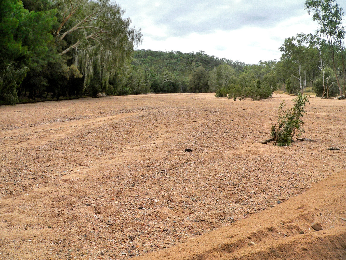
Most rivers, even the larger ones, are ephemeral in most years having highly seasonal and variable flow. Many cease to flow during the dry season and tidal influences can extend some 80 –100 km upstream. Some are little more than a chain of elongated waterholes for much of the year. Extended periods of low flows during the dry season not only separate mainchannel habitats from off-channel floodplain lagoons, but can also reduce contiguous main-channel habitats to a string of shallow, isolated pools. In the drier areas, these habitat changes can dramatically influence fish community composition by increasing density dependent interactions and causing extreme water quality conditions.
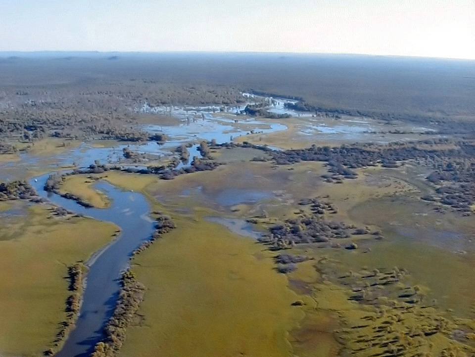
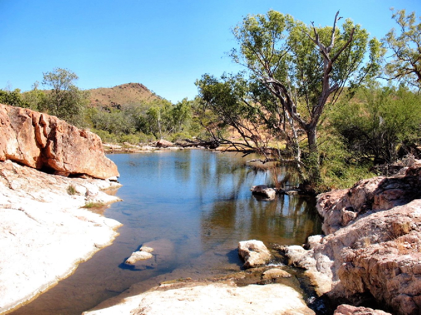
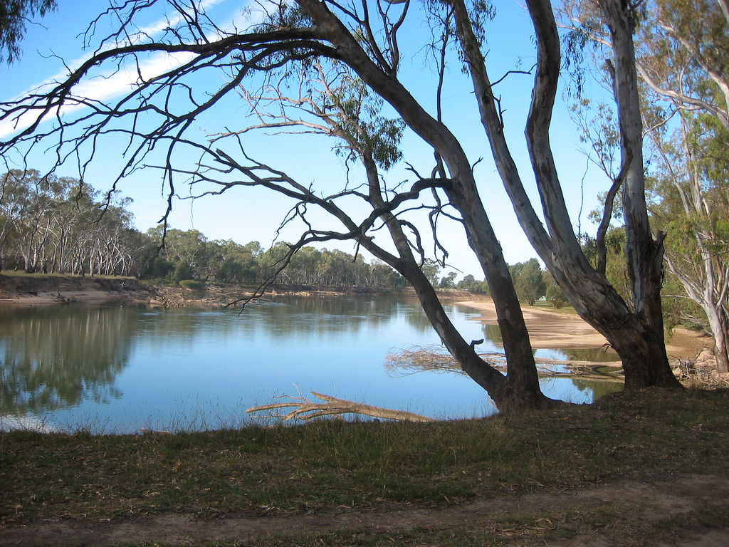
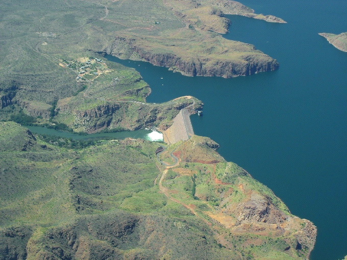
Aquifer-fed streams such as the Daly River in the Northern Territory, the Gregory River in the Gulf of Carpentaria, and the Jardine River on Cape York Peninsula, continue to have significant flows even at the end of the dry season. Such aquifer-fed perennial rivers are especially important for many terrestrial and aquatic species. As a consequence of the water releases from Lake Argyle and Lake Kununurra the downstream portion of the Ord River in Western Australia is also now perennial.
Rivers never flow in a straight line. Even when there are no obstacles, flowing water has an inherent tendency to meander and, over time, the meanders themselves also move. Within the boundaries of their floodplains, river channels shift from side to side, shuffling old sediment and pushing it downstream toward the sea. A river pushes sediment along a floodplain a bit like you might use a running hose to wash dirt from a concrete path - sweeping from one side to the other, progressively moving the dirt along. Similarly, rivers sweep from side to side within their floodplains. Each meander moves the sediment along a little then leaves it behind for the next. As a floodplain river moves, it leaves tracks in its wake: repeated, curved rills called ‘scrolls’, which fill with water to become billabongs. Changing flows also frequently cut off whole loops of river channel, called meanders, to create flood-filled ‘oxbow’ billabongs.
By world standards, Australia has only one large river system, the Murray-Darling, whose catchment drains the western slopes of the Great Dividing Range and the arid interior. The Murray-Darling Basin covers an area in excess of a million square kilometres (14% of the entire continent) and occupies large areas of southern Queensland, inland New South Wales (NSW), and northern Victoria, as well as South Australia’s south-east. The Murray-Darling is also one of Australian’s most degraded river basins, an issue of special concern to South Australia - the State at the “bottom end” of the catchment. The lower Murray now experiences drought level flows three years out of every four, compared to one in twenty years under natural circumstances.
The loss of biodiversity in the region and degradation of its rivers is well documented. In particular, the native fish species of the Murray-Darling Basin have suffered serious declines in both distribution and abundance resulting in the threatened status of one-quarter of the thirty-five species present.
The Murray River and its tributary, the Darling River, are the main rivers in the Murray-Darling River Basin. The Darling River flows south from the junction of the Culgoa and Barwon rivers. Although the Culgoa is longer than the Barwon, the source of the Darling is generally agreed to be the Barwon River as it has the greater volume of water.
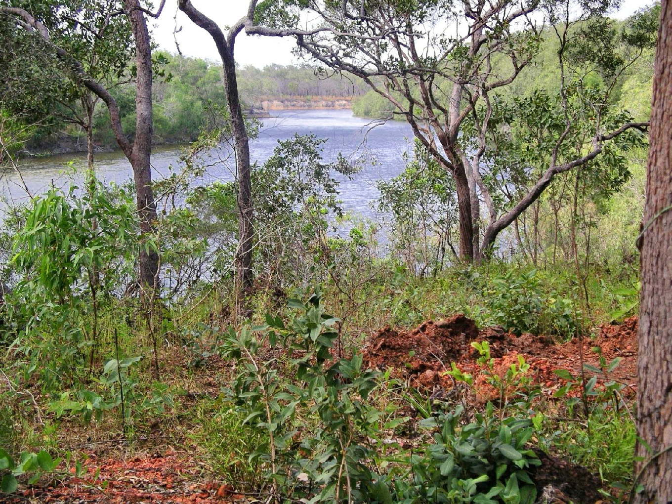
The headwaters of the Darling can be traced to the MacIntyre River, which starts in the Great Dividing Range, and forms part of the border between NSW and Queensland. It eventually flows south into the Barwon. The Barwon-MacIntyre section is sometimes referred to as the Upper Darling. When measured from its source in Queensland to its mouth on the coast south-east of Adelaide, the Murray-Darling river system is 3,370 kilometres long, about half the length of the world’s longest river, the Nile.